 +1 403-290-1320
 info@global-tectonics.com
March 2019: Launch of Global Tectonics Project
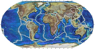
 The Global Tectonics Project integrates state-of-the-art deformable plate models for the Atlantic and circum-Arctic margins
into an expanded global deformable plate model.
 Puts easy to use modelling tools into the hands of geoscientists to apply the global deformable plate model and model the tectonic evolution of continental margins.
 Global
Model
 The Global Tectonics Project integrates state-of-the-art deformable
plate models for the Atlantic and circum-Arctic margins into an expanded
global deformable plate model. The model is developed using the method
described in
Ady and Whittaker (2018) for accurately removing the effects of
pe-breakup extension across conjugate margins. This allows geoscientists
to better evaluate basin formation and tectonic evolution.
The Global Tectonics end-user app for ArcGIS puts easy to use modelling tools into the hands of geoscientists to apply the global deformable plate model and model the tectonic evolution of continental margins. Geoscientists will find the app to be an indispensible part of their workflow in the evaluation of deep-water and hyper-extended continental margins, enabling them to create their own environment of deposition and other maps using the Global Tectonics deformable plate model.
The Global Tectonics Project provides users with a suite of datasets for key time intervals for use with ArcGIS. These datasets include restored and reconstructed tectonic elements, structural features, beta factors, crustal thickness, etc. Derived forward modelling products such as tectonic/thermal subsidence and flexural uplift maps for key time intervals are also included in the data suite.
The model is developed using the method described in Ady and Whittaker(2018) for accurately removing the effects of pe-breakup extension across conjugate margins. The foundation for this new approach to modelling and analysis of hyperextended margins is the construction of a palinspastic deformable plate reconstruction model that quantifies the amount, timing and direction of crustal extension across conjugate margins through time. This provides us with a set of retro-deformed beta grids of crustal stretching for key tectonostratigraphic intervals.
These grids are used to calculate inputs into the forward modelling of the tectonic evolution of hyperextended margins from the pre-rift configuration output from the palinspastic deformable plate reconstruction. Forward modelling the initial tectonic and subsequent thermal subsidence with input from a palinspastic deformable plate reconstruction sheds new light on basin subsidence history and connectivity, and provides a way to quantify the amount of flexural isostatic uplift of the basin margins through time.
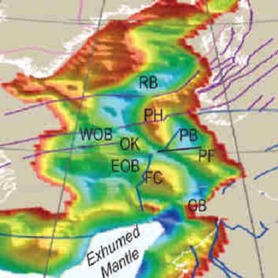
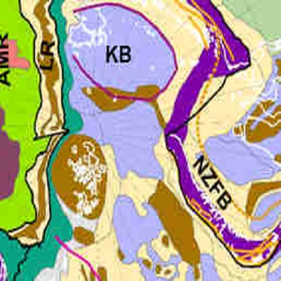
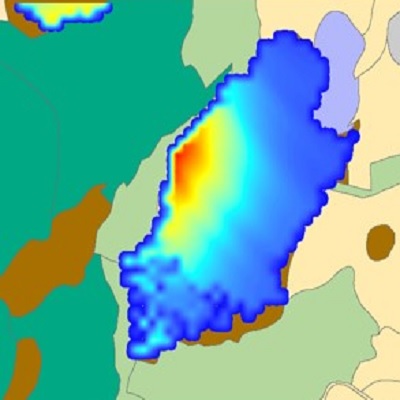
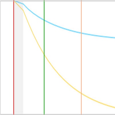
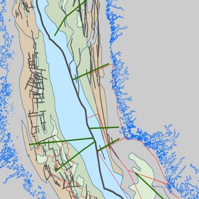
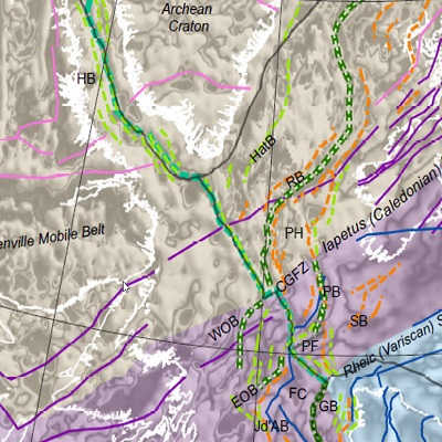
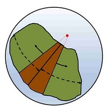
The first Global Tectonics Project dataset was released to clients with an end-user app for ArcGIS in October 2019. The easy to use modelling app enables geoscientists to restore and reconstruct proprietary and other datasets using the underlying Global Tectonics model. Regional groups working on conjugate margins can collaborate to restore and reconstruct data.
 7th CONJUGATE MARGINS CONFERENCE IN MARRAKECH, MOROCCO October 18-20 2022
Whittaker R.C.1, Lawrence S.R.2, Powney M.3 and Ady B.E.1 The development of petroleum systems in late pre-breakup extension and early-formed oceanic tectonic settings: examples from the Central and South Atlantic.
Oral presentation
Ady B.E.1, Whittaker R.C.1, Powney M.3 and Lawrence S.R.2 A new deformable plate model for the Morocco-North America conjugate margin and its implication for the opening of the Central Atlantic.
Oral presentation
1 Global Tectonics Ltd.
2. Subsurface Resource Consulting
3. Geoex MCG Ltd. .
 AAPG ICE CONVENTION IN CARTAGENA, COLOMBIA April 19-22 2022
Whittaker, R. C. & Ady, B. E. A New Deformable Plate Model for the Nova Scotia-Morocco Conjugate Margin and its Implication for the Opening of the Central Atlantic. Oral presentation.
 CENTRAL ATLANTIC PLATE MODEL UPDATE March 31 2021
Global Tectonics releases major update to the Central Atlantic deformable plate model with implications for new Lower Jurassic plays.
 PAGEO1: Paleogeographic Reconstruction and Source Rock De-Risking for Offshore Nova Scotia March 31 2021
Technical report for the Nova Scotia Offshore Energy and Research Association (OERA)..
 AAPG ACE CONVENTION IN HOUSTON - Cancelled June 7-10 2020
Whittaker, R. C. & Ady, B. E. Forward Tectonic Modelling of Newfoudland and Its Conjugate Margins: A new approach to exploration in deep water basins. Oral presentation .
 GLOBAL
TECTONICS END-USER APP RELEASE October 2019
The first Global Tectonics Project dataset was released
to clients with an end-user app for ArcGIS. This part of the model covers
Newfoundland and its conjugate margins. Other areas soon to be released
in early 2020 include the North Atlantic-Arctic, Central Atlantic and
South Atlantic.
 GLOBAL
TECTONICS PROJECT LAUNCH March 2019
The Global Tectonics Project was launched in March 2019. The project goal is the development of the first global palinspastic deformable plate model based on the method described in Ady and Whittaker(2018) .